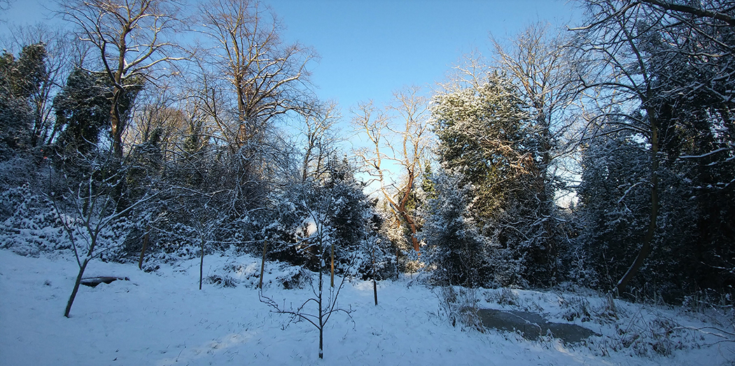
Map 5 1869: A larger house (called Woodlands) is now shown on the site of Williams Lodge. This detailed Ordnance Survey map shows in some detail that the Westcombe Woodlands were a mixture of dense woodlands, formal gardens, orchard and small holdings. The fences between the narrow strips of land just south of plot 341 are still visible today as a zig-zag path in the north-west corner of the Westcombe Woodlands. Please note the green shaded area shows the current boundaries of the Westcombe Woodlands.
