
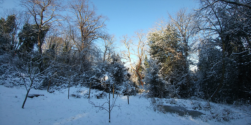

One of the lost parts of Greenwich is the six and a half acres of wooded scarpland stretching from Vanbrugh Hill on the east to Maze Hill on the west, sitting under Ulundi Road, Vanbrugh Castle and Westcombe Park Road.
A modern map of the Westcombe Woodlands shows it is surrounded on all sides by development: by the semi-detached and terraced houses of Ulundi Road, Vanbrugh Hill and Maze Hill to the south, east and west, and Maze Hill station and the modern blocks of Tom Smith Close and Seren Park to the north.
But before the mid-nineteenth century the area was largely rural. As the surrounding area got developed from the 1840s onwards, the Westcombe Woodlands escaped development, partly because the old gravel pits on the site had left the ground far too steep to be built on. The slope on the site would previously have been much more gentle. As Neil Rhind puts it in his in his History of Blackheath Village and Environs (1986) “its steep slopes and uneven terrain was created by man only as recently as the middle of the 17th Century, if not shortly before”. If it had not been for these gravel pits, the land would surely have been developed just as the rest of the Westcombe Park area was from the 1860s onwards.
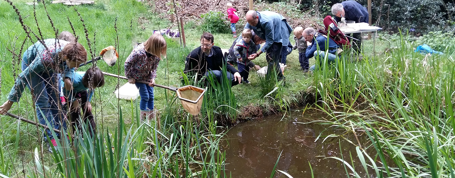
Before the mature trees on the site grew up when the gravel pits were abandoned, probably in the late eighteenth century, the area may have looked a bit like the area of old gravel pits (known locally as “The Dips”) just off Charlton way at the northern edge of Blackheath, a half-mile to the south of the Westcombe Woodlands. Other parts of the Westcombe Woodlands were occupied by formal gardens, allotments and orchards, and a substantial house stood at the eastern end of the Woodlands until it was demolished in the early twentieth century. In the nineteenth century, the land was even notorious as a suicide spot. So the Woodlands are probably wilder and more inaccessible now than they have ever been for several hundred years.